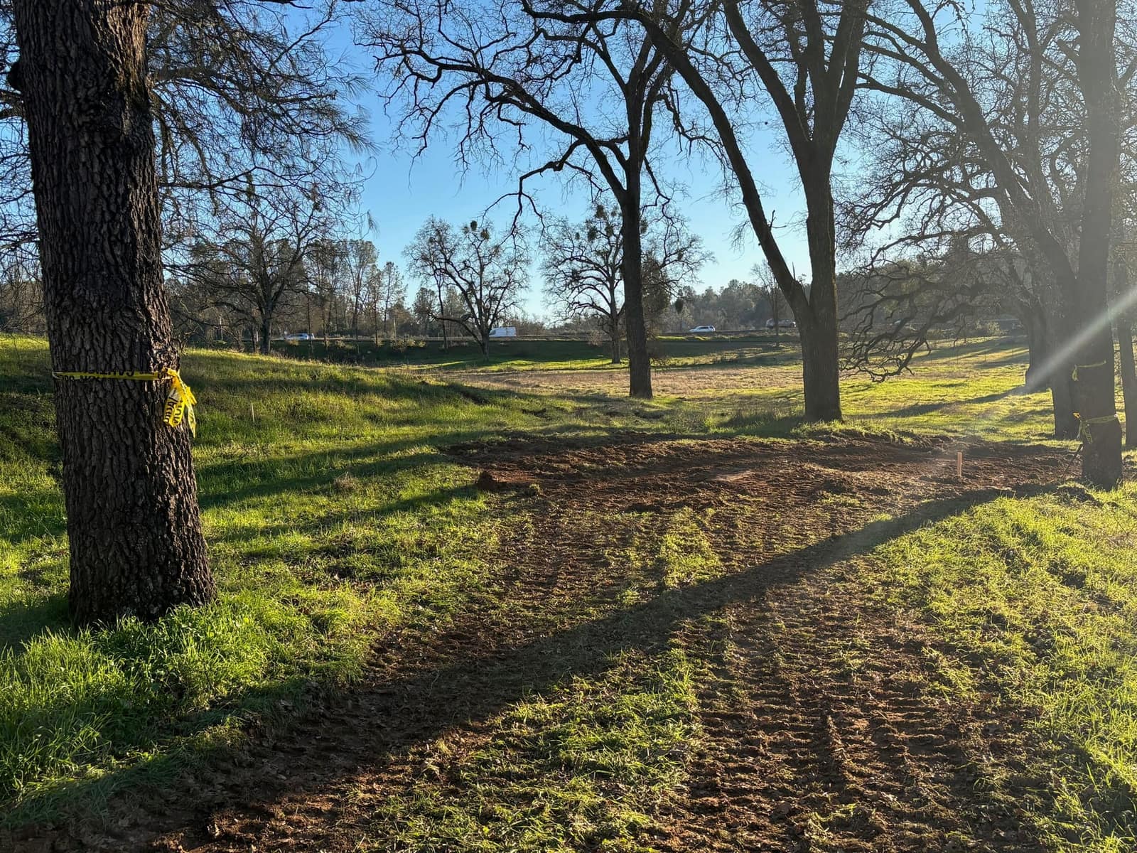
When I sampled the CAL FIRE hazard layers across this community, every single point landed in the State Responsibility Area, and nearly half of them landed in the very high hazard class. That one fact decides which law governs the trees around your house, and it separates this area from towns half an hour west that look similar from the road. I am Christopher Hodge, an ISA Board Certified Master Arborist, and I assess trees and write county oak reports here as an independent consultant with no removal crews attached.
State responsibility, top to bottom
The sample points across the community returned seven in very high hazard, six in high and two in moderate, all of them in the State Responsibility Area, with none in a local responsibility area. Those are sampled points rather than a parcel boundary check, so treat them as the shape of the problem and not as a finding for your address. What they do establish is the governing statute. Public Resources Code section 4291 attaches to structures in the State Responsibility Area, which here means effectively every home. Compare that with Rocklin, thirty miles west, where the mapped data shows no very high zone at all. Same species of oak, entirely different legal exposure.
What 100 feet actually asks for
Section 4291 requires 100 feet of defensible space measured from each side and from the front and rear of the structure, and it does not extend past your property line. Within that, the statute sets aside the first 5 feet as an ember resistant zone, though its state rules are still pending, and the band from 5 to 30 feet takes the most intensive fuel reduction. None of that is an instruction to cut down every tree. A mature oak with a clean lower trunk, no ladder fuel beneath it and no dead wood in the crown is an asset in a fire. An unbroken shrub layer under a row of them is the liability. Telling those two apart in writing is most of what I am hired for out here.
The oak ordinance still applies on acreage
Rural land alone exempts nothing. This is unincorporated El Dorado County, so Chapter 130.39 of the county zoning ordinance governs, as amended in its entirety by Ordinance 5235 in July 2025. Two provisions matter most on large parcels. Impacts to heritage trees, to individual valley oaks and to valley oak woodlands carry Oak Resources Management Plan mitigation whether or not the work needs a development permit, with a narrow carve out for trees that are dead, dying, diseased or storm damaged. Valley oak is singled out deliberately. Separately, woodland is regulated by area, and the mitigation ratio climbs with how much of the woodland on site you touch: 1 to 1 up to half of it, 1.5 to 1 from there to three quarters, and 2 to 1 above that.
Replanting is a seven year commitment
Owners price mitigation as a one time planting cost. The county prices it as most of a decade. Replacement quantities are set per inch of diameter removed and scale with stock size: three acorns, two trees in one gallon stock, one and a half in five gallon, or one in fifteen gallon for every inch. Preserving trees on site instead requires security of $10,000 or the full estimated in lieu fee, whichever is greater, guaranteeing those trees stay healthy for five years after construction, and replacement plantings carry their own security for seven years including maintenance and monitoring. A planting plan built around what will actually live on a dry foothill slope costs less than replanting it in year six.
Higher ground, a different mix
The elevation I sampled here is roughly 1,515 feet, about 300 feet above the point I sampled at Cameron Park, which is enough to matter. Blue oak still runs the dry slopes, holding the band below roughly 3,900 feet on shallow, lean, well drained ground, but at this elevation California black oak becomes a real part of the mix on cooler aspects, and it decays and fails on a different schedule than the live oaks. Species identification is no formality in a report here.
What I do on rural parcels
- Oak Technical Reports for county building and grading permits
- Tree inventories across acreage rather than single yard trees
- Hazard tree assessment along driveways, fence lines and structures
- Evaluation of fire damaged trees after a burn
- Diagnosis of decline, decay fungi and bark beetle activity
Get it in writing before the work starts
A site assessment with a written report starts at $500. The site visit on its own is $250 and covers up to one hour on site. On acreage that normally means walking the trees that matter, the ones near structures, the drive and the proposed work, rather than inventorying a hundred oaks nobody plans to touch. Call or text (530) 391-6100 and tell me what triggered the question.
Book a consultationFrequently Asked Questions
Is my property in the State Responsibility Area?
Almost certainly, if it is in the Shingle Springs area. Every point I sampled across this community fell in the State Responsibility Area and none fell in a local responsibility area, which means the 100 foot defensible space requirement of Public Resources Code section 4291 attaches to structures here. Sampled points are not a parcel determination, so confirm your address in the CAL FIRE hazard zone viewer linked below before relying on it.
Will 100 feet of clearance cost me my oaks?
Usually not. Section 4291 is a fuel arrangement standard rather than a clearing order. The zone is created by breaking up horizontal and vertical fuel continuity, taking out dead material, and pulling ladder fuels from under crowns. Mature, well spaced trees with clean lower trunks routinely stay. What comes out first is the continuous brush layer, the dead limbs, and the small trees growing up into the crowns of larger ones.
Do I have to mitigate a valley oak with no building permit involved?
For most trees mitigation follows a development permit. For heritage trees, individual valley oaks and valley oak woodlands it does not. The county applies Oak Resources Management Plan mitigation to impacts on those regardless of whether the activity requires a permit, and the only exception is for trees that are dead, dying, diseased or storm damaged. If a large valley oak stands on the property, treat every plan that touches it as a mitigation question.
How does the county treat woodland differently from single trees?
They are two separate tracks. A stand with more than ten percent canopy cover counts as oak woodland and is mitigated by the acre, at ratios rising from 1 to 1 up to 2 to 1 as more of the site is impacted. Individual oaks are mitigated by trunk diameter instead. On rural acreage a project often triggers both at once, and the report has to keep the accounting separate.
Official county and state sources
- Public Resources Code section 4291The statute itself: 100 feet of defensible space around structures in the State Responsibility Area, the 5 foot ember resistant zone, and the 5 to 30 foot band.
- El Dorado County Zoning Ordinance Chapter 130.39, Oak Resources ConservationThe county oak chapter as amended by Ordinance 5235, including the fire exemptions, mitigation ratios and security requirements described above.
- CAL FIRE fire hazard severity zone viewerCheck a specific address against the state and local responsibility area maps rather than relying on sampled points.